YW5AS DXpedition pictures now online
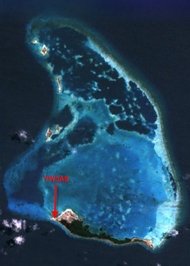 Pictures are up of the YW5AS Aves de Sotavento DXpedition -- and they are pretty cool. There's a bit of narrative that goes along with the web site as well.It was a pleasure to see the use of all of the verticals right there on the salt water beach as well. As you know, the combination of vertical antennas and being located on the beach makes the vertical a powerful antenna.And, as a side note, I am continually amazed at the quality of Google Earth -- and how so many DXpeditions now are using it as part of their planning.Hat tip to DL6KAC for the link.Scot, K9JY